Nature and Culture Trail Kyrkudden
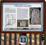
2. The Map of Djurö
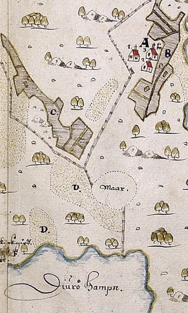
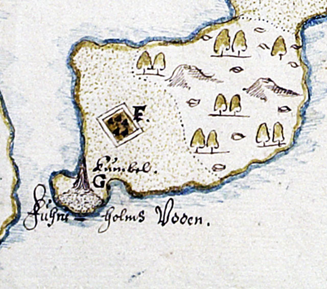
Between 1630 and 1655 at least 12,000 geometrical maps were made by the Swedish Land Registry. They show agricultural areas as they were in the 17th century from the far north of Sweden to the south. There are maps of several places in the Stockholm archipelago containing information about things like farms, fields, forest and fishing areas, enclosures and mills.There were three farms in the village of Djurö. The farmers shared the fields and meadows surrounding the village. This meant that they all shared both the richest and poorest soil. The inhabitants of the archipelago lived by fishing, hunting, animal husbandry, agriculture, horticulture and handicraft. Villages were small – often consisting of two or three farms close together. But there were villages with as many as eight farms in other places in the archipelago.One of the farms on Djurö was owned by a nobleman, and the farmer who lived there paid tax to him. The other two paid their taxes directly to the state.There are several interesting details on the old map of Djurö. At the time the map was created the church had not yet been built. However, there were two cemeteries. One of them was in roughly the same place as today’s churchyard. The other one was further in in the harbour. The letter F on the map marks their locations.For the next stop, continue along the road. Where the road bends to the right you’ll see sign number 3 on the left. |

