Nature and Culture Trail Kyrkudden
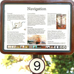
9. Navigation
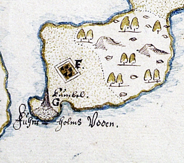
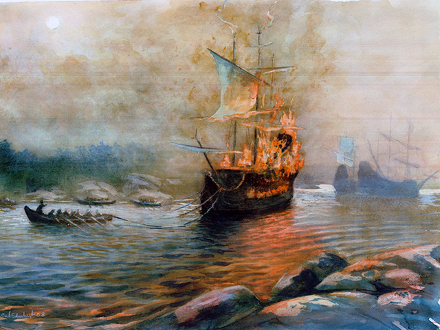
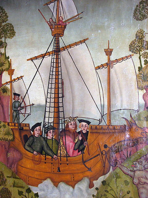
Where the old summer house now stands, there was once a sea cairn, a kind of navigation mark. It’s shown on the oldest map of Djurö from the 1640s, where it is described it as a “sea cairn used by navigating officers for guidance when sailing”.Charts in the modern sense did not exist in former times Ships relied on experienced pilots to navigate for them. The pilot would be familiar with natural features, be able to find his way among rocks and islands and know where all the treacherous shallows were. He had to know how to read the weather, the water currents and the flight of birds and he had to be able to recognise the stars in the night sky. The pilot’s knowledge of the sea, islands and shallows was the result of generations of experience.Many pilots lived in the archipelago. Their homesteads were exempt from taxes in return for them always being available to act as pilots whenever the crown needed them.In 1623 six ships were stationed here to guard the channel to Stockholm. One of these was the Riksvasa. For reasons unknown, a fire suddenly broke out on board. The ship couldn’t be saved and sank near where the Djurö bridge is today. The wreck was raised in the 1960s.To help him navigate, a pilot might have a plumbline and an hourglass. Large ships had compasses but they weren’t very reliable. The painting here, which is from the 16th century shows a sailor with a plumbline.In 1644 a book was published in Swedish entitled “A short instruction to sailing in the Baltic”. It contained information about distinctive rocks and islands, sea marks, sea cairns and such like. It was a popular book and was published in several editions. It was reprinted in 1925.To get to the next stop go down the hill past stop number 8 and carry on towards the fence by the churchyard. Stop number 10 is right in front of the curchyard entrance.
|

